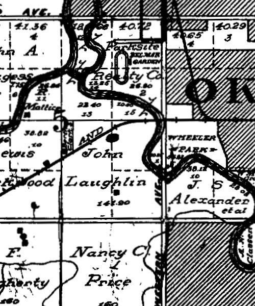
The Oklahoma County Assessor has a fine resource at this page which, it says there, reflects not only the twenty township maps which comprise Oklahoma County but also contain the names of the original homesteaders, according to an “original Government Survey Lot Report” in 1905. It doesn’t say which government, and the maps don’t give any identification at all.
At the Assessor’s website, each township’s map is contained in a separate PDF file. However, the graphic illustrations inside each PDF file are much higher resolution than one would typically see by opening a PDF file. I’ve extracted all 20 images, rotated several to make them more perpendicular, and have cropped the files down to their actual borders. From those files, I’ve put together an interactive flash video file, the initial page of which appears below.
Move your mouse over a thumbnail and the township’s name and legal description will appear at the top. Click on a thumbnail for a view of the map which will fit in the same window, but in that page you also have the option of opening in a separate window a much larger JPEG file, each of which are 1024 pixels wide, but if you want the highest resolution file, uncompressed TIFF files around 2500-2600 pixels wide are also available.
The maps are great research tools for the researcher and just fun to look at for the curious. Enjoy!
click anywhere in the image below.
Once it’s loaded and active, a “gray zone” is present in the right area of text information at the top — move (no click needed) your mouse there to return to the initial screen.
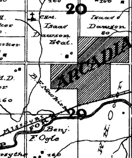
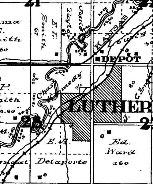
The following are a few examples of cropped areas from various of the high resolution township maps, to give you an idea of the detail …
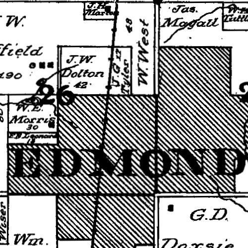
Deep Fork Township
Luther Township
Hartzell Township
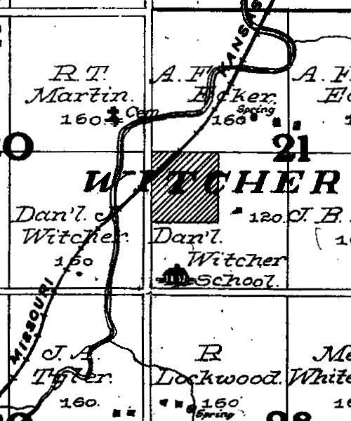
Council Grove Township
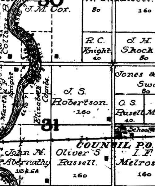
Oklahoma Township
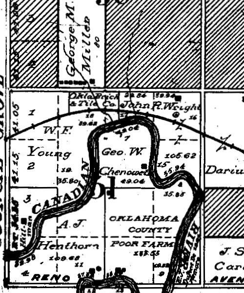
Crutcho Township
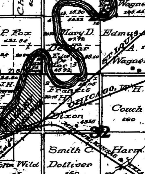
Boone Township
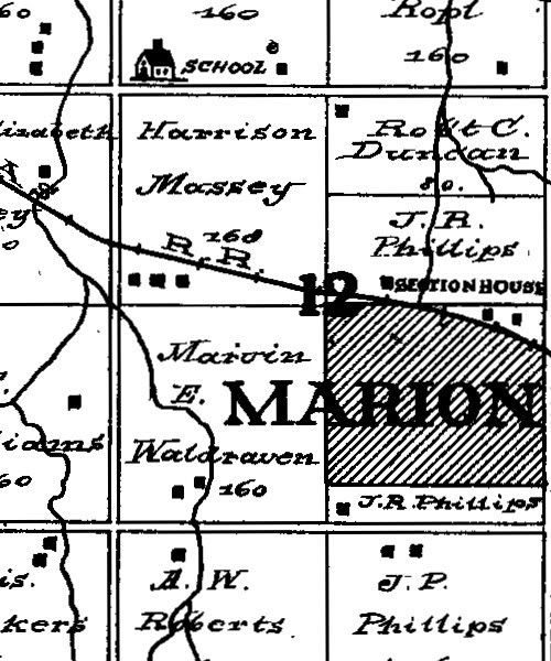
Greeley Township
