
Click here to go to Part 1 – Introduction
Click here to go to Part 2 – Floods & River Change
Click here to go to Part 3 – MAPS & Change
Click here to go to Part 4A – Facilities and Events
FACILITIES & EVENTS, TODAY – Oklahoma River Trails
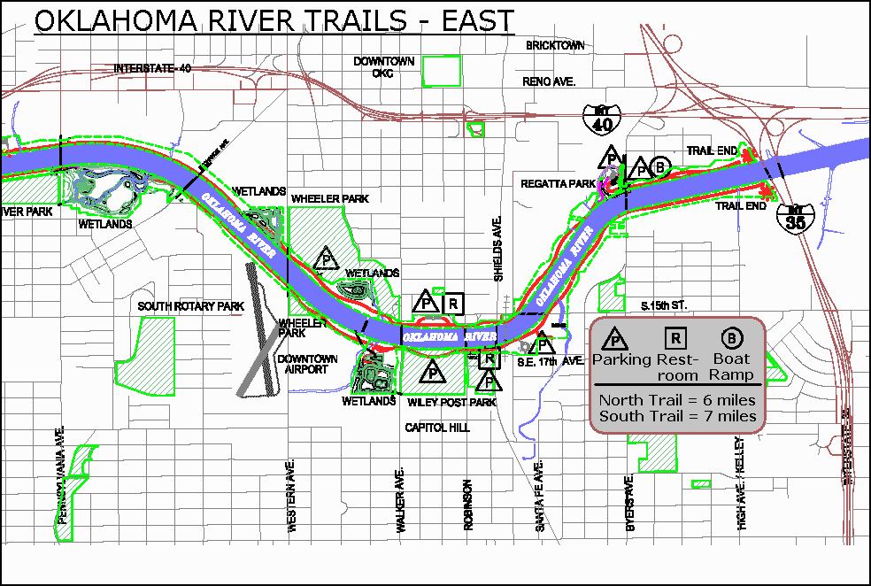
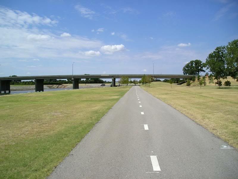
River trails span 6 miles on the the north and 7 miles on the south side of the Oklahoma River. The asphalt trails are great for walkers, runners, rollerbladers, skateboarder and cyclists, but all motor vehicles are prohibited.
Parking areas are located, on the north side, at Regatta Park, off Byers Avenue, just west of the Byers Avenue Bridge; SW 15th, between Walker and Robinson; Wheeler Park, and SW 9th and Shartel. On the south side, parking areas are at SW 15th and Meridian, River Park (SW 8th and Agnew), Wiley Post Park (SW 17th and Robinson)and at SW 15, just east of Portland.
You can use the maps below or download the Oklahoma River Trails Map at Oklahoma City’s website (pdf file). The images below are smaller versions of that file.

Click on any map for a larger view
Above, the whole map; below, west and east segments

 The images below were taken on Saturday, August 12, 2006. My route started from Shields Boulevard driving south toward SW 29th (to get some elevated pics where Shields crosses the river); SW 29th to Robinson; north on Robinson to Wiley Post Park & explored the river there; back to Robinson and north a block to Mat Hoffman Action Sports Park (1700 S. Robinson); followed 17th east to Central; then north to cross the river to 15th Street; west on SW 15th to Walker; north on Walker to SW 12th; east on 12th through Wheeler Park to Western; checked out Western’s river crossing; then south on Western south of the Downtown Airpark (defunct except for OCPD helicopters) until I reached an east-west street (SW 29th?) to go west on, and on that street to McKinley; north on McKinley to SW 8th which meets with the river and took some pics; followed SW 8th westbound to Exchange; southwest on Exchange to Pennsylvania; north on Penn to check out its river crossing; south on Penn to SW 15th to Agnew; north on Agnew to River Park; south on Agnew to SW 15th and west on SW 15th to May; north on May to check out the river crossing; south on May to SW 15th and turned west on SW 15th to Portland; north on Portland to “trails end”; then north on Portland to river crossing; then south on Portland to SW 15th; west on SW 15th to Meridian; north on Meridian for some river crossing pics; and then I called it a day.
Now, without further interruption, here are 20 of the pics I took along this route – click on a pic for a larger image in a separate window, and enjoy the tour!
Left: looking west to Robinson; Right: looking south to Hoffman Park

Driving South On Shields Near SW 15th
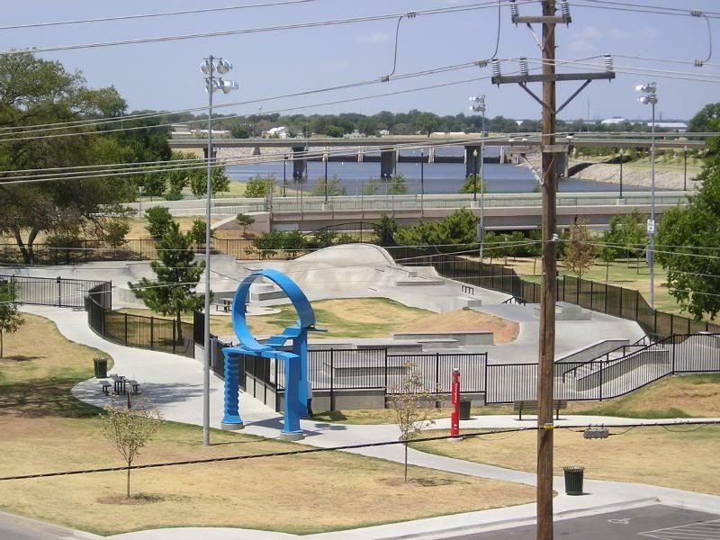
Left: looking south toward Hoffman Park; Right: looking west at it
For more about Mat Hoffman Action Sports Park, click here.

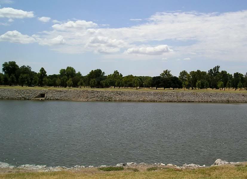
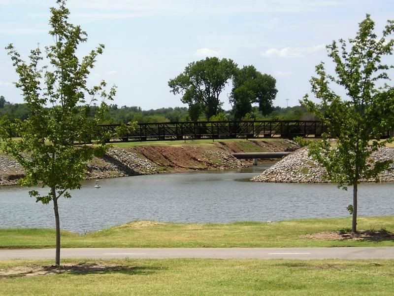
From and to Wiley Post Park
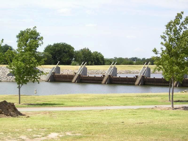
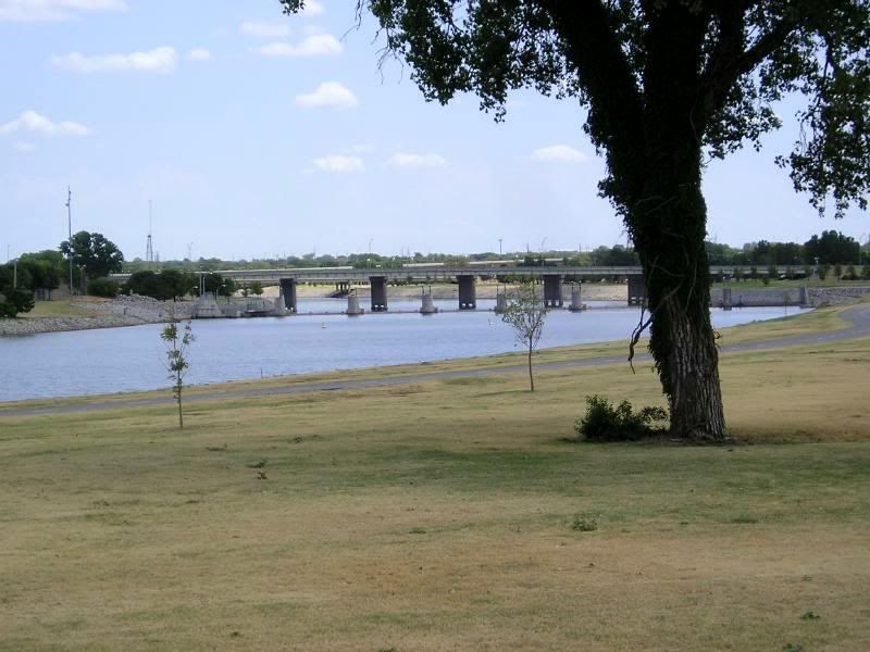
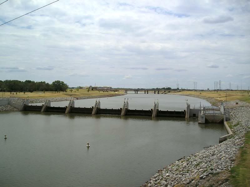
Left: in park around SW 17 looking west to dam east of Western;
Right: north of river on SW 15th looking south

On North Side Looking West (just south of SW 15th Street)
Left: westbound on the trail towards Walker;
Right: showing trail crossover to south side
Left: north side around SW 15 looking west at dam east of Western;
Right: south of river around SW 15 near Western looking at Wheeler Park
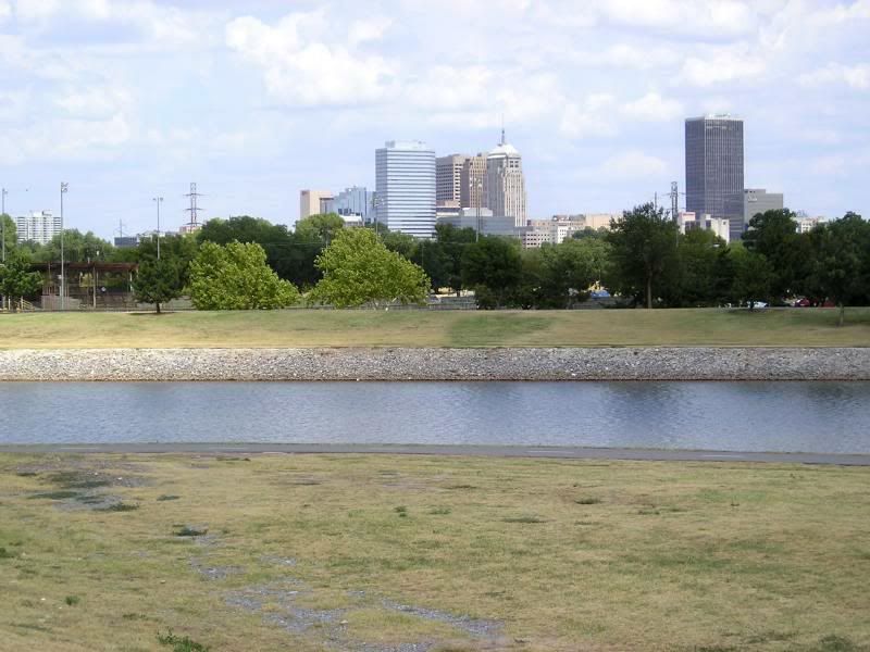
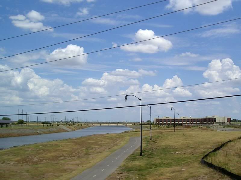
From SW 8th & McKinley
Left: looking east; Right: looking northeast

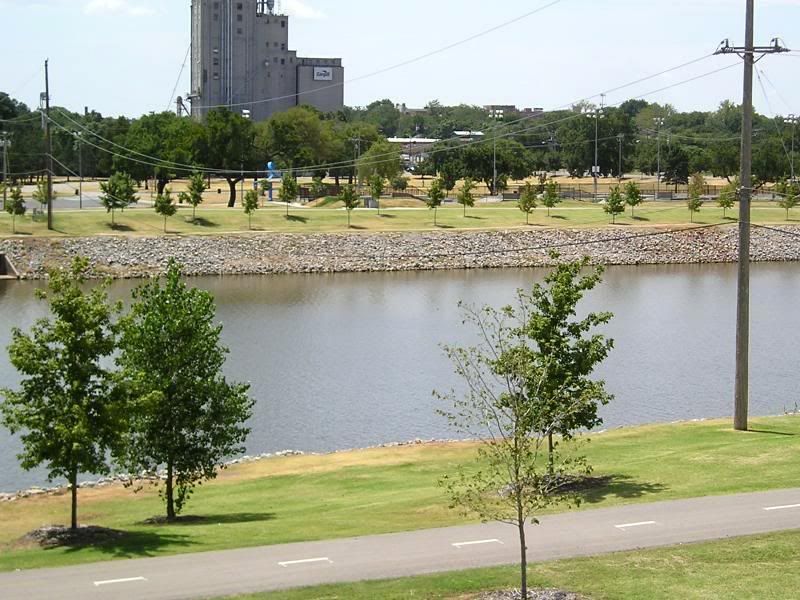
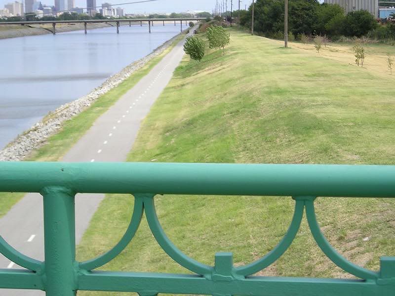
From River Park – SW 8th & Agnew
Left: looking northeast; Right: on Agnew bridge looking east
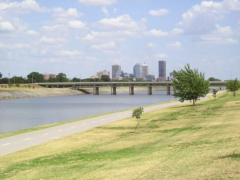
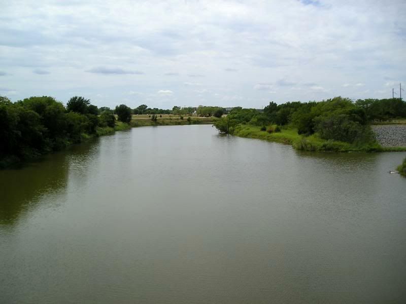
Left: Looking East From Agnew Around SW8
Right: Looking East From May Around SW 5
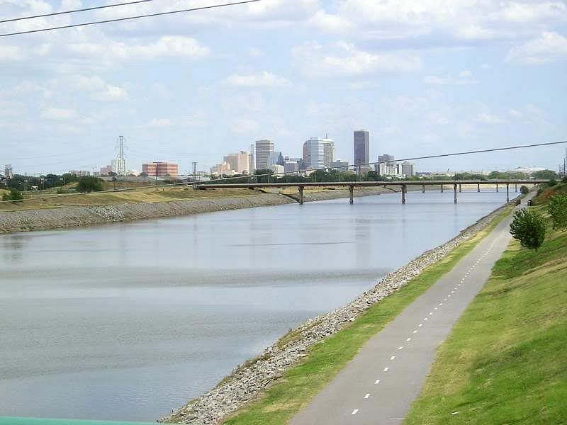
Looking East From Portland North of SW 15 Towards Dell

Right: Looking North at Portland North of SW 15
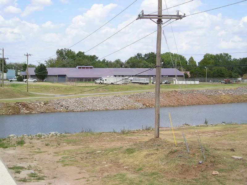
to OCPD Equestrian Facility (end of North Trail)
Left: On Meridian North of SW 15 Looking West (end of South Trail)
And, then I went home, having had a good adventure upon the Oklahoma River Trails! Adios for now to the Oklahoma River, my Oklahoma River buddies! Hope you enjoyed the Oklahoma River series!