This was initially published July 7, 2011. It was edited and republished on July 24, 2011, to show a video & photos from trip; on July 27, a better video replaced the first.
Background music by Barefoot Man
| I’ve left my footprints on the beach at Waikiki … by the coastline of Barbados at the shore of Martinique. I’ve broken many hearts, so many lost affairs. But there’s one that stole my soul between here and there. Some Call her a lady; some call her the sea; some call her the ocean; a place to be free. |
Atlantic Pacific or the Gulfstream. She’s wild and she’s crazy, the ultimate dream. Don’t try and change her, she’s warm and she’s cold, when stormy or tranquil, she’s in control. She’s deep and she’s mighty, she gives her bounty. Oh, how I love her, the Lady the Sea. |
 I was a Lawton High School sophomore when I took my 1st trip to Corpus Christi on a band trip in 1959, and, since then, Corpus has been my emotional home away from home and that’s where I’m going early tomorrow morning. On most of the trips since then, my children have accompanied me but this time I am the guest of my son, David, and his bride, Michele, and I am accompanying them.
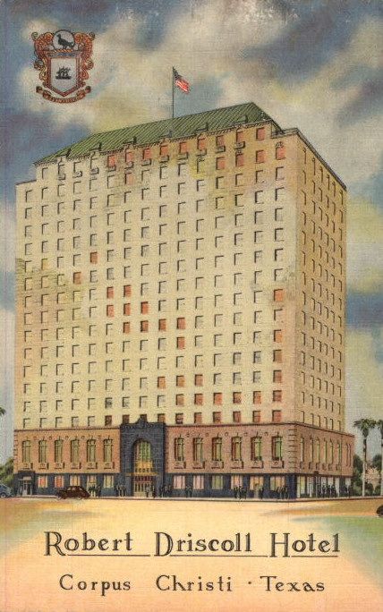
In that very first trip, the LHS band members stayed in the Robert Driscoll Hotel, located downtown but built well up on the Corpus Christi Bay elevation to protect it from storm surges. Many of us guys were more than thrilled to sleep on the floor, couches, beds, whatever, in the penthouse suite where Jayne Mansfield had earlier spent some time, no less! Whoa … for a young male teenager, does it get any better that this?
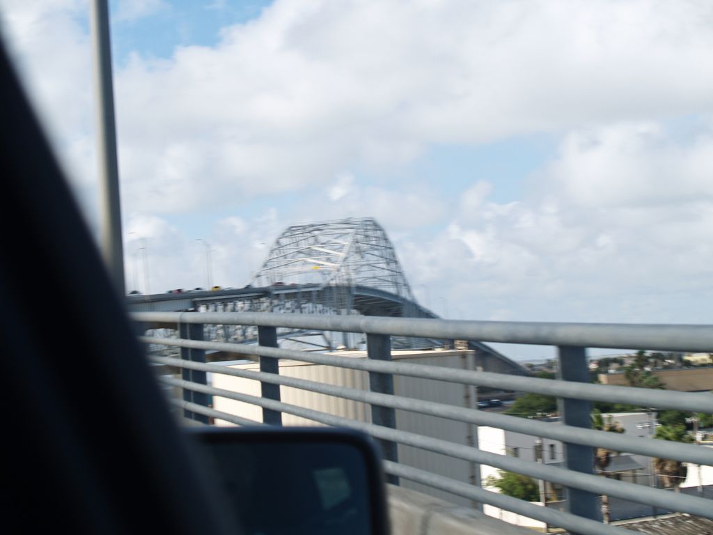
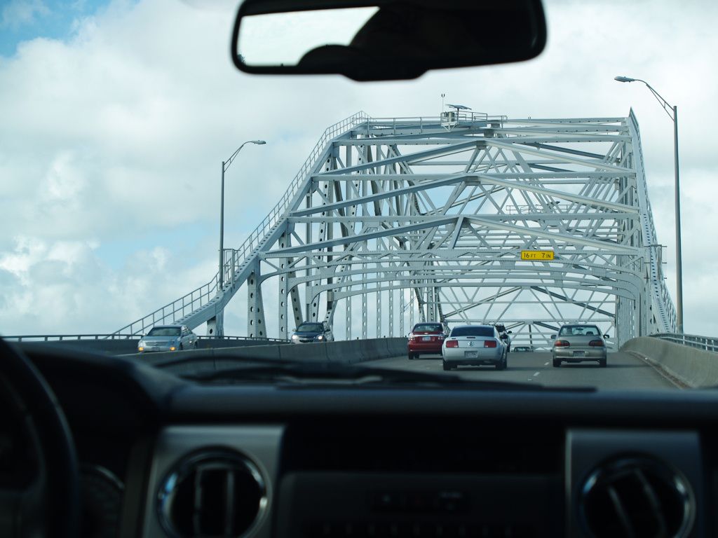
As well, at that time, one could look outside a window of that penthouse suite to see the bridge being constructed over the Corpus Chisti Bay Harbor and it looked like it was going strait into the sky without ever coming down.
Long ago, shortly after seeing the completed bridge, my daughter claimed ownership of that bridge, and now all members of my family, acknowledging her ownership, call it, “Mary’s Bridge,” which, of course, it is.
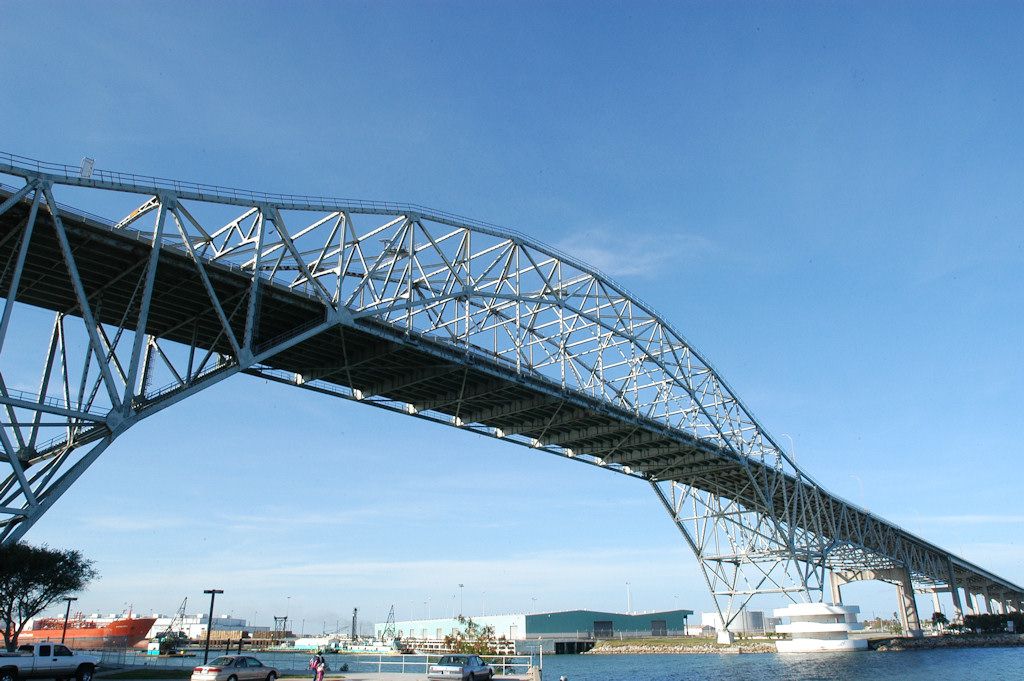
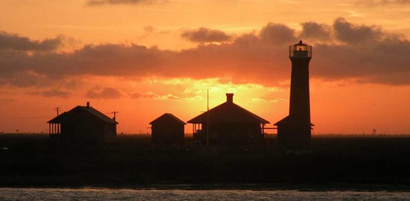
Looking East From Mary’s Bridge

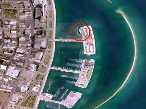
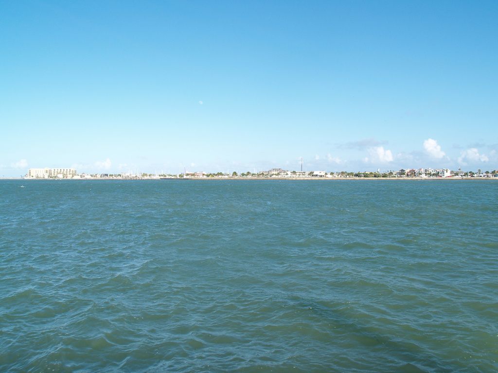
If one looks east enough, one will see the shipping channel through which oceanic ships enter Corpus Christi Bay, that particular point being Port Aransas. And that’s where we will be staying on this trip.
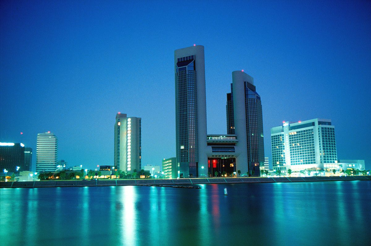
Corpus Christi is a beautiful destination city. A couple of views are shown below.
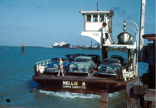
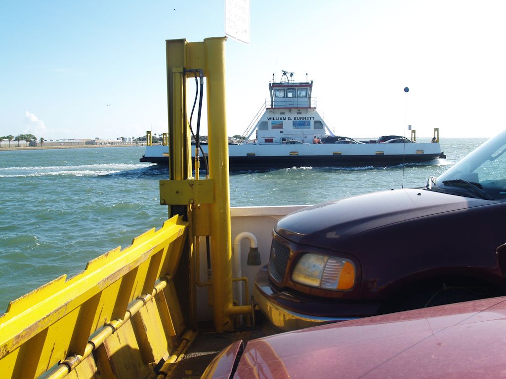
Port Aransas is physically located on the north end of Mustang Island which, for all practical purposes, is the northern part of North Padre Island, Texas, which is located at the east side of Corpus Christi Bay. To reach Port Aransas by car, one must either cross the free ferry at the north, or approach the island from the southern (Corpus Christi) end at the south.
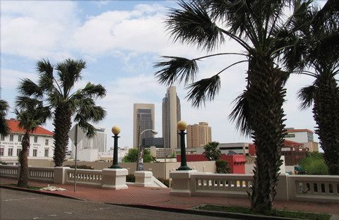
The southern approach is via Corpus Christi, shown below.
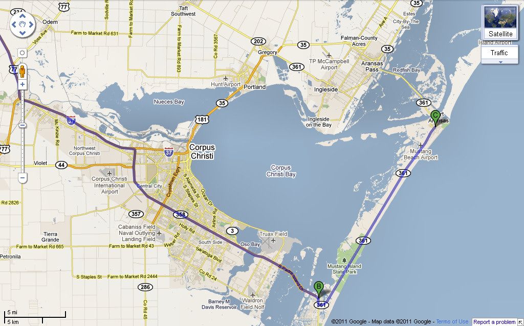
Either way you get there, you get this:
See you soon, around July 15, sunburned or not. I’ll be there until then.
Trip Photos. I’ll not show all of the pics but will give a good sampling of photos taken on this July 2011 trip.
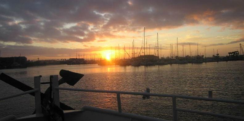
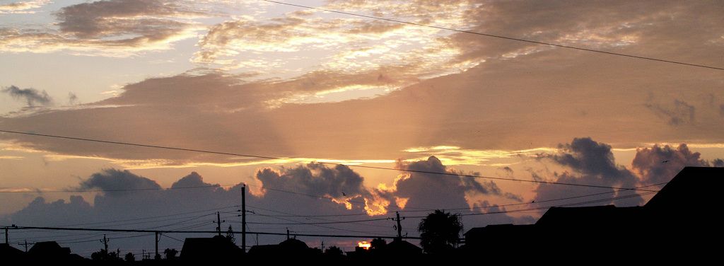
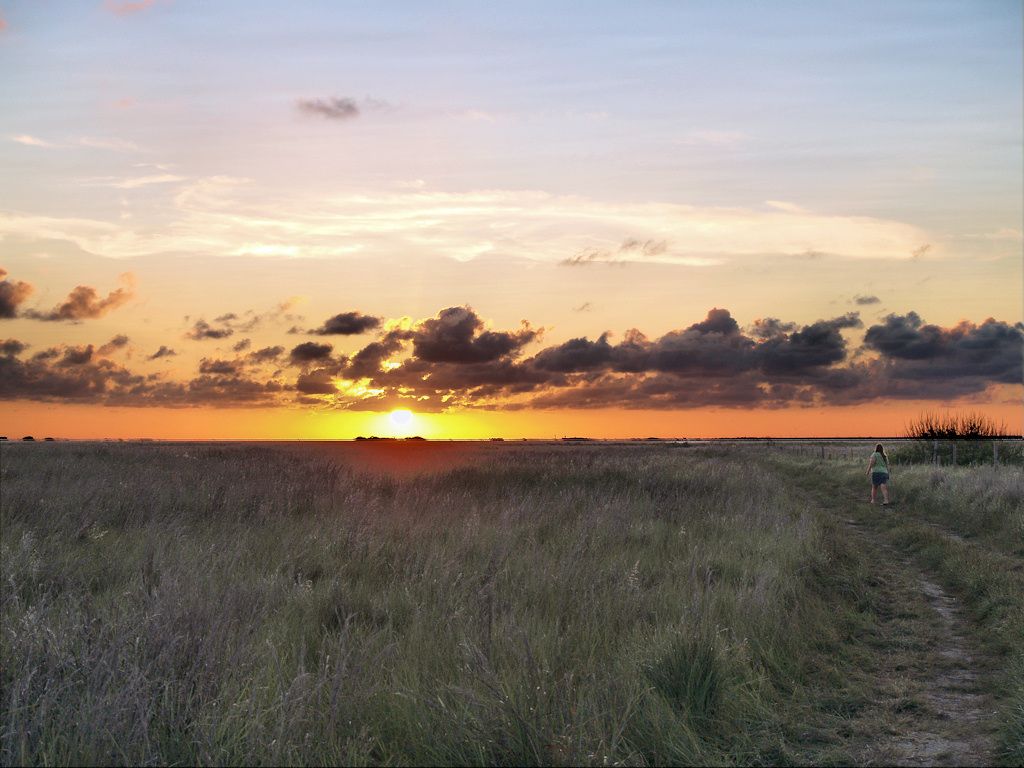
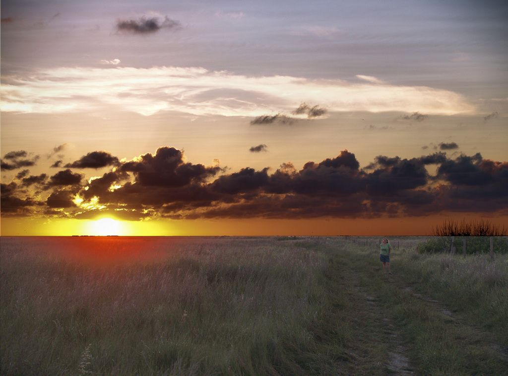
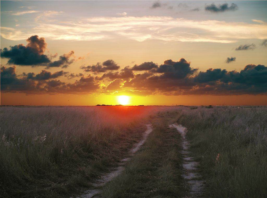
Sunrise


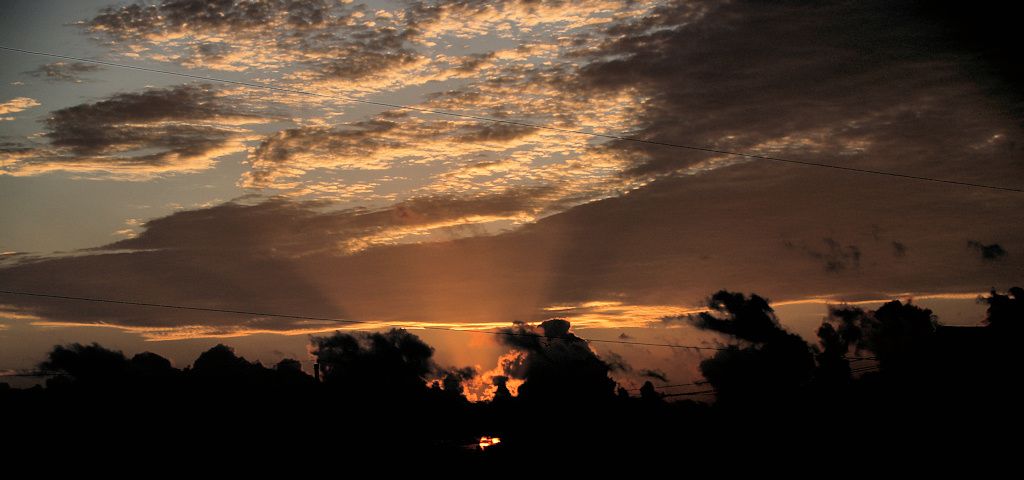
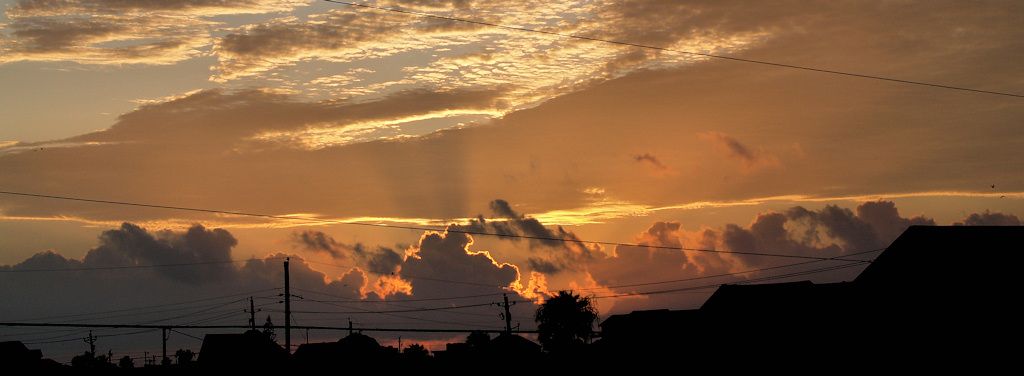
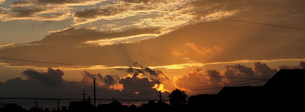
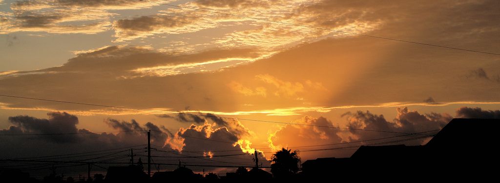

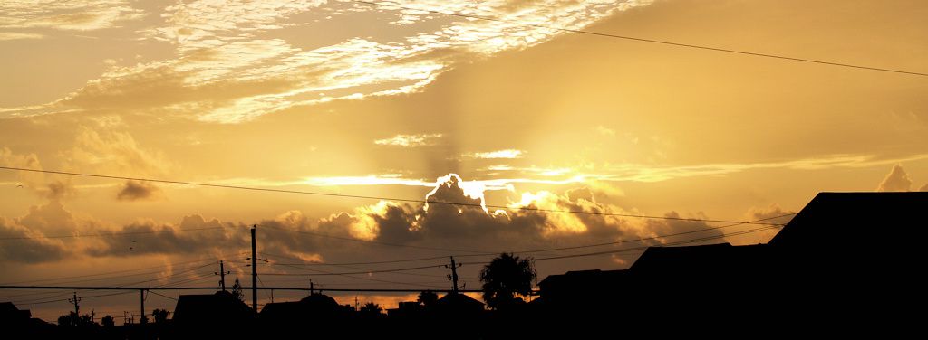
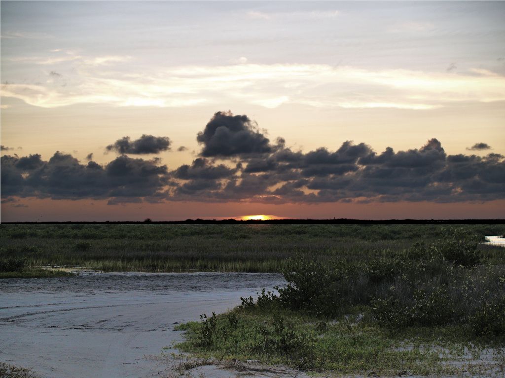
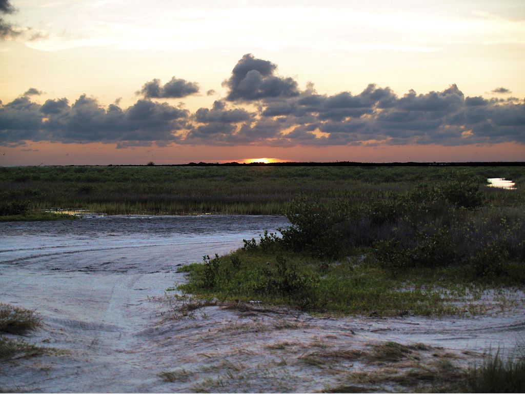
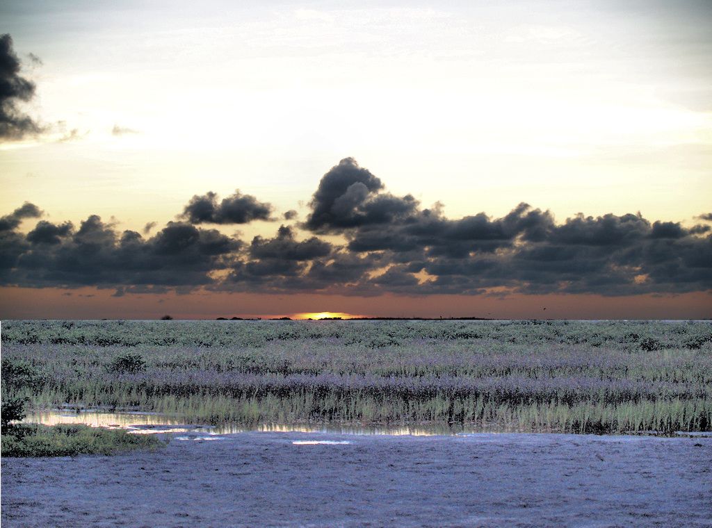
Sunset
Taken by David & Michele Loudenback
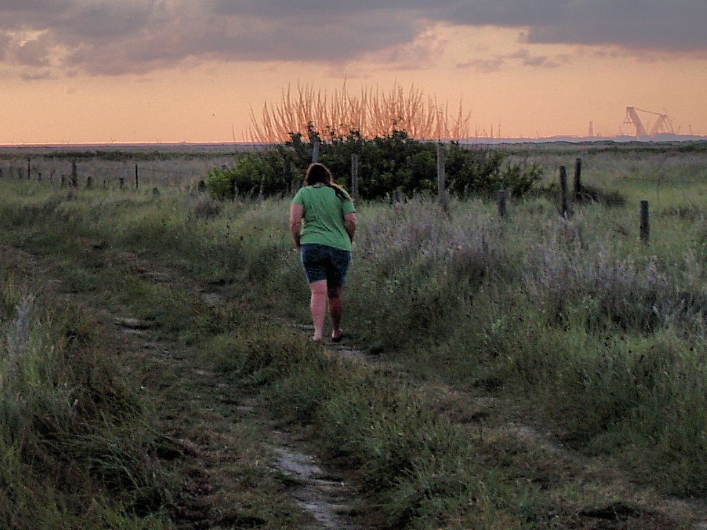
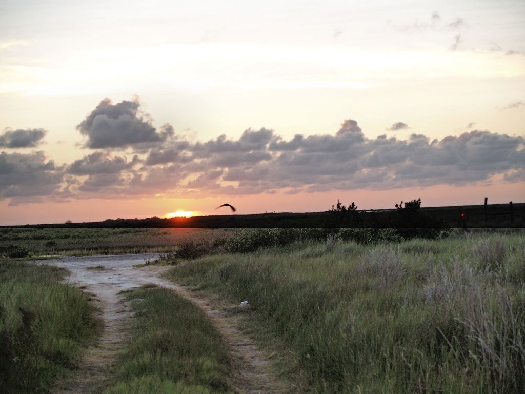
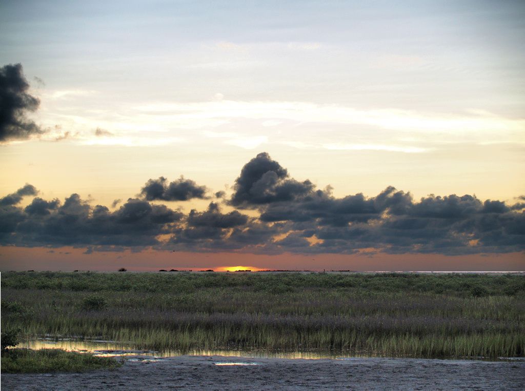
For this set, David & Michele drove a bit south of Port Aransas and took a semi-road heading westward toward Corpus Christi Bay, into marshlands near the bay on Mustang Island, somewhere around the area shown below.


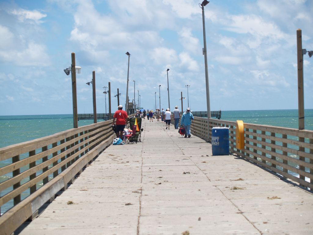
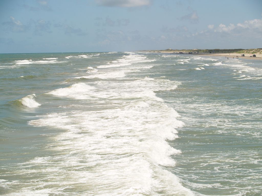
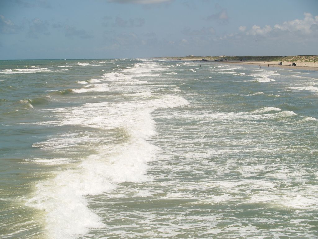
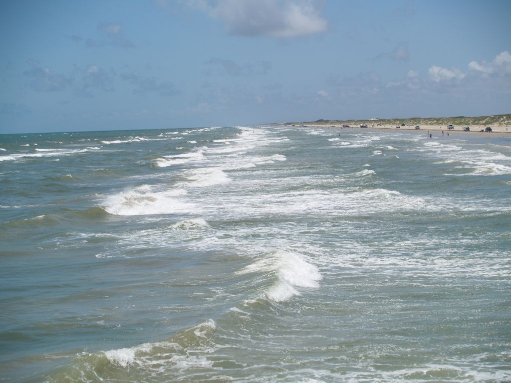
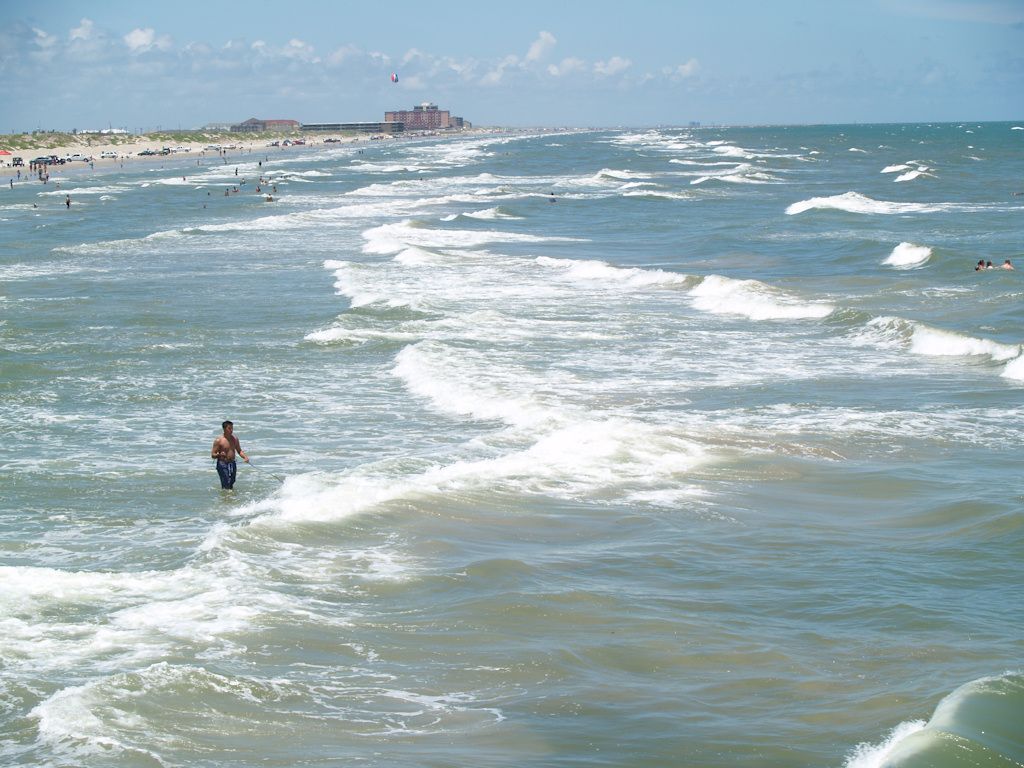
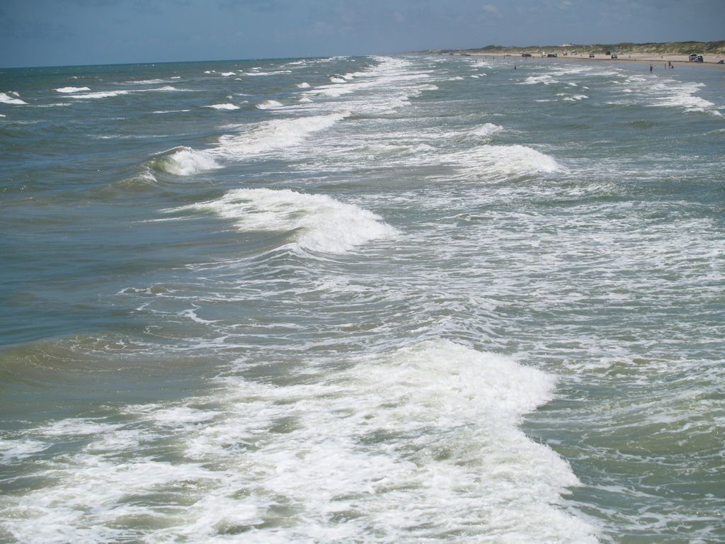
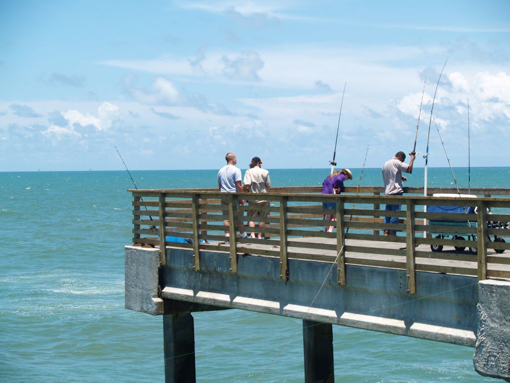
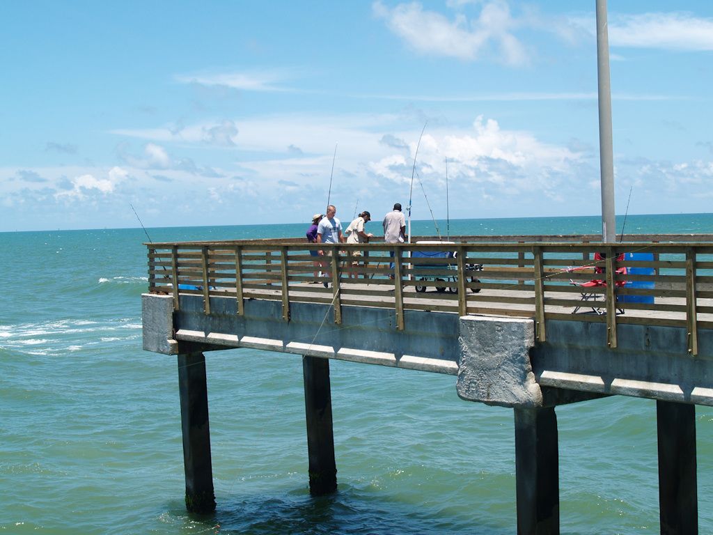
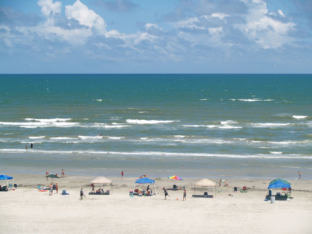
Bob Hall Pier
Further south, on Padre Island, this pier was first built in 1950 at 300 feet. After hurricanes and an earthquake it has been rebuilt and now extends 1,240 feet into the Gulf of Mexico, about 2-3 city blocks.
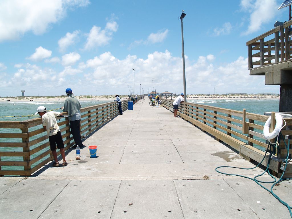
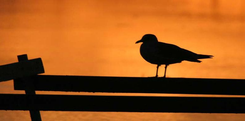
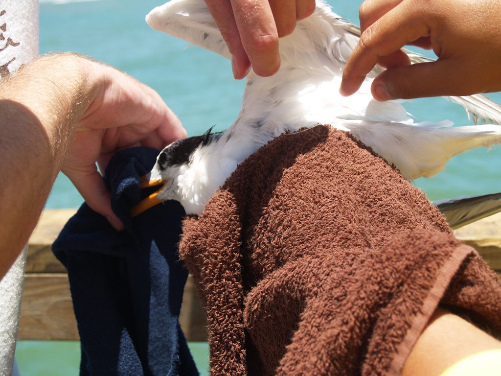
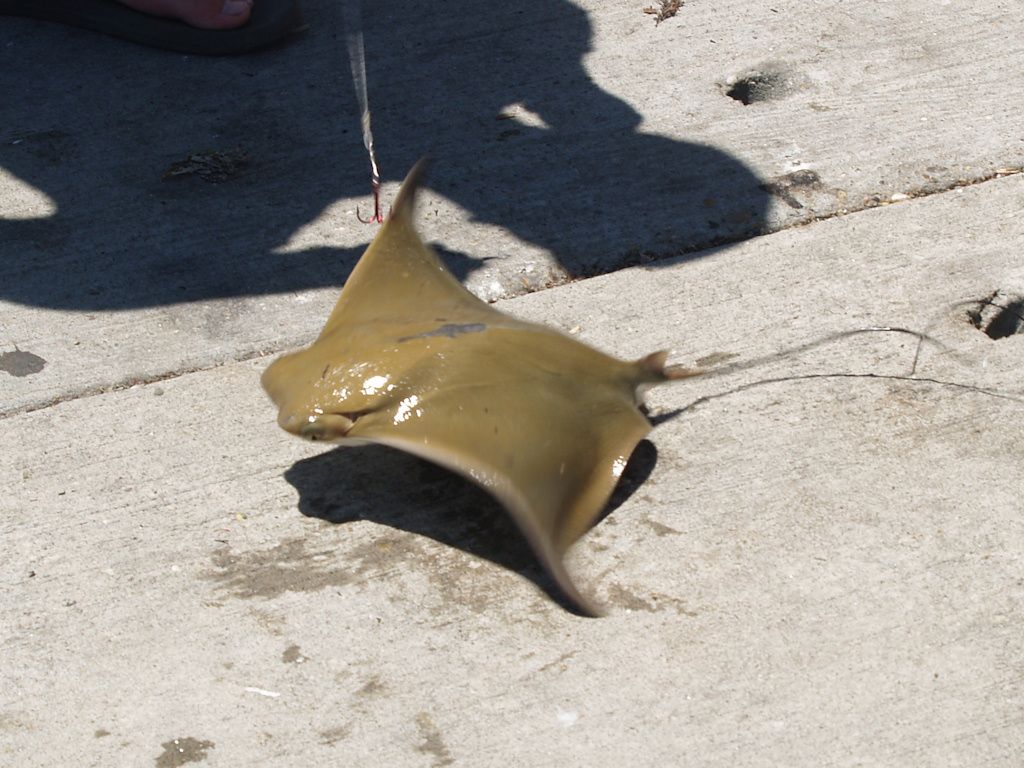
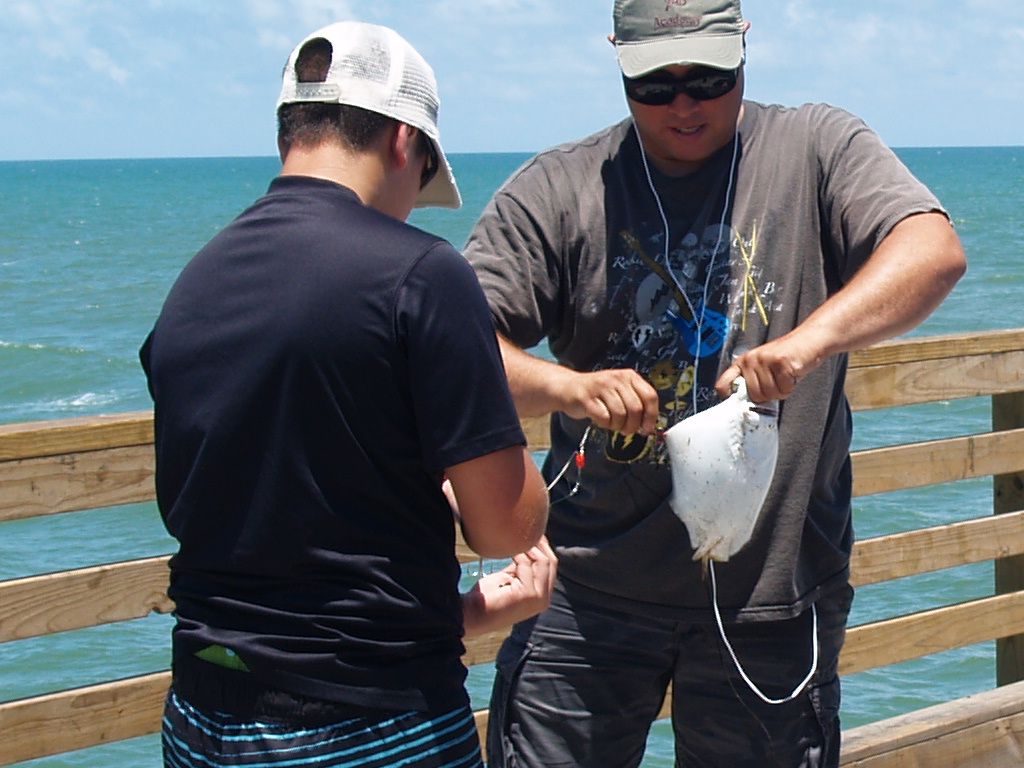
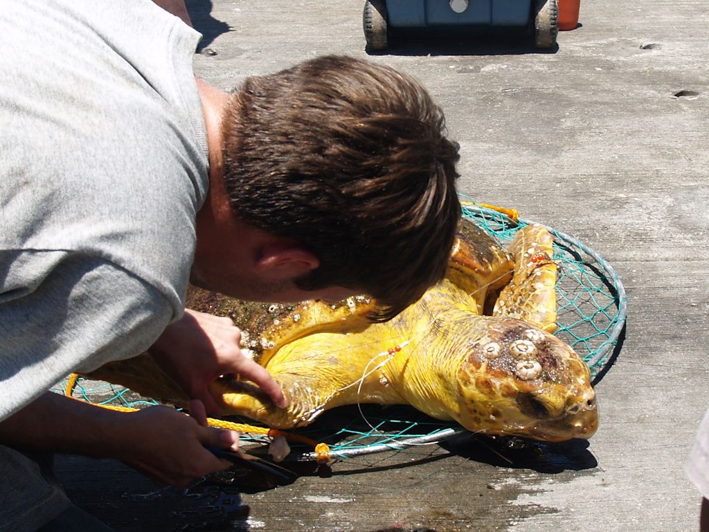
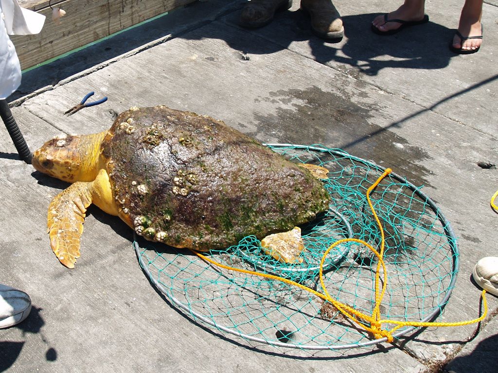
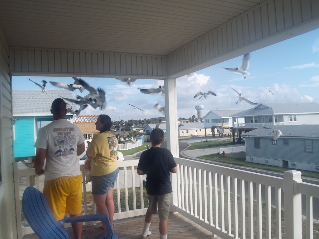
Sea Critters
We observed three creatures get caught in fishing lines … a gull which went after the bait and wound up being wrapped in the line, a small sting ray and a decent sized sea turtle get caught on hooks in their wings. All were unhooked and released.


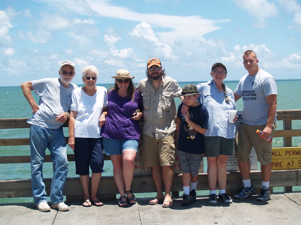
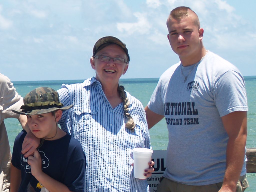
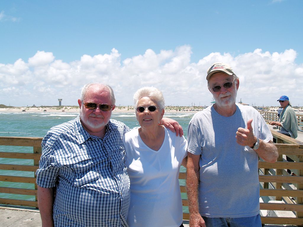
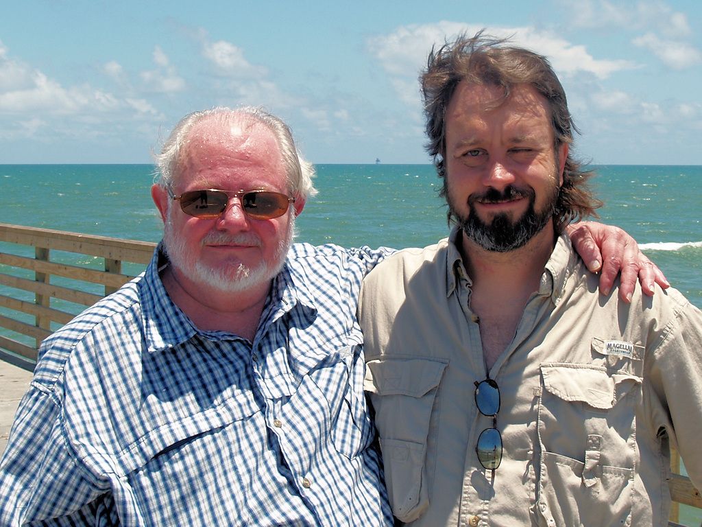
Capn’ Dawg & Me Hearty Crew

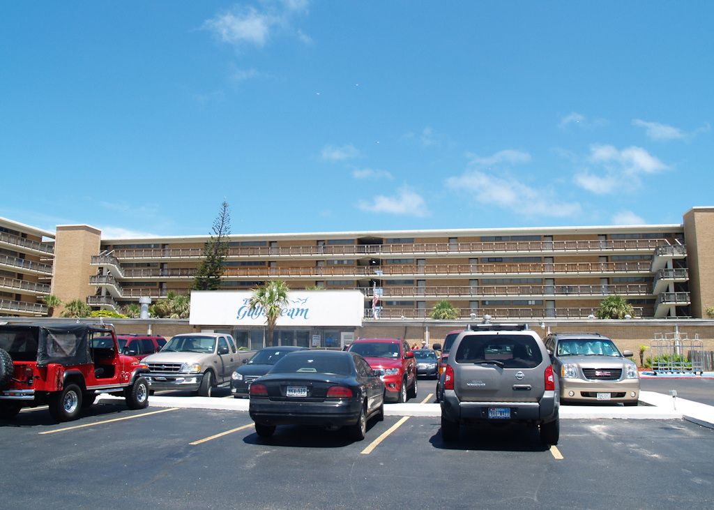
The Gulfstream, Our Usual Quarters

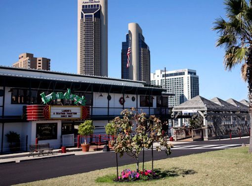
Early Dinner At Landrys

Crossing Mary’s Bridge

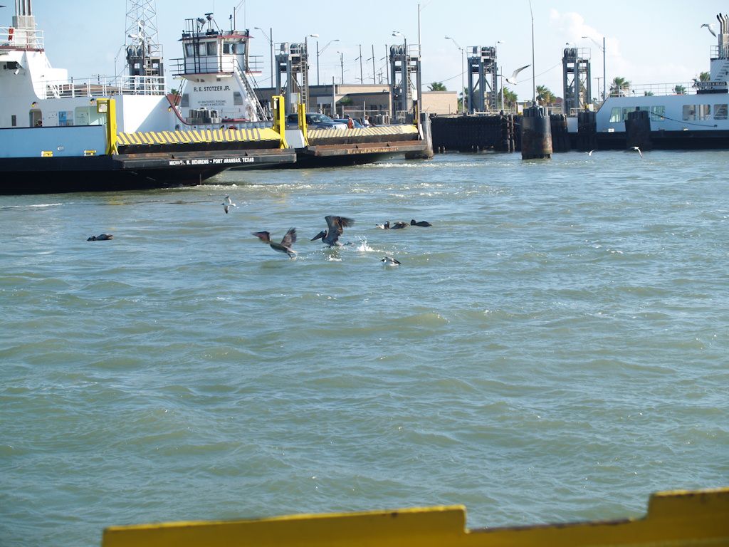
Crossing the Ferry to Port Aransas

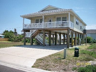
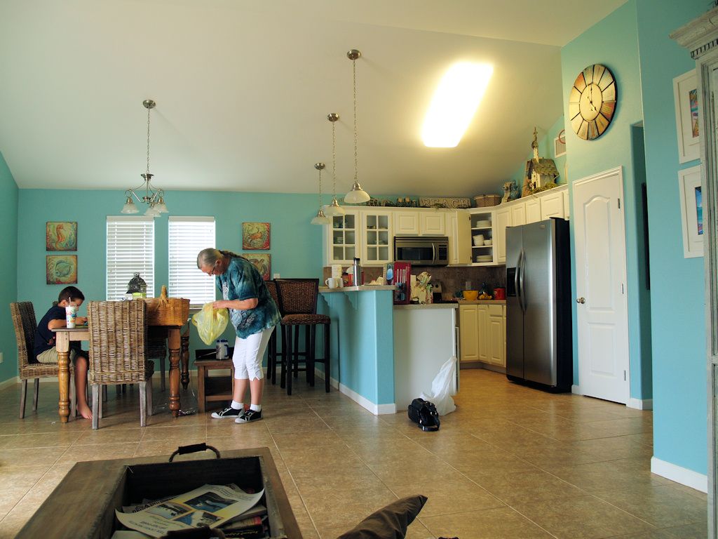
At the Port Aransas Rental


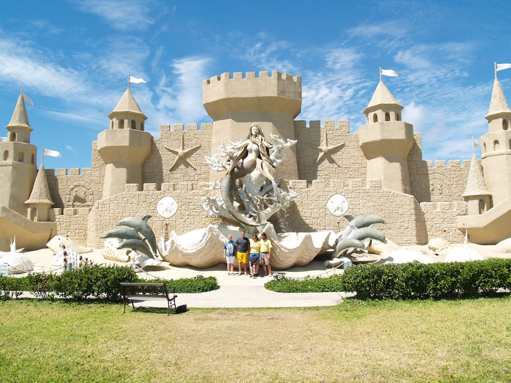
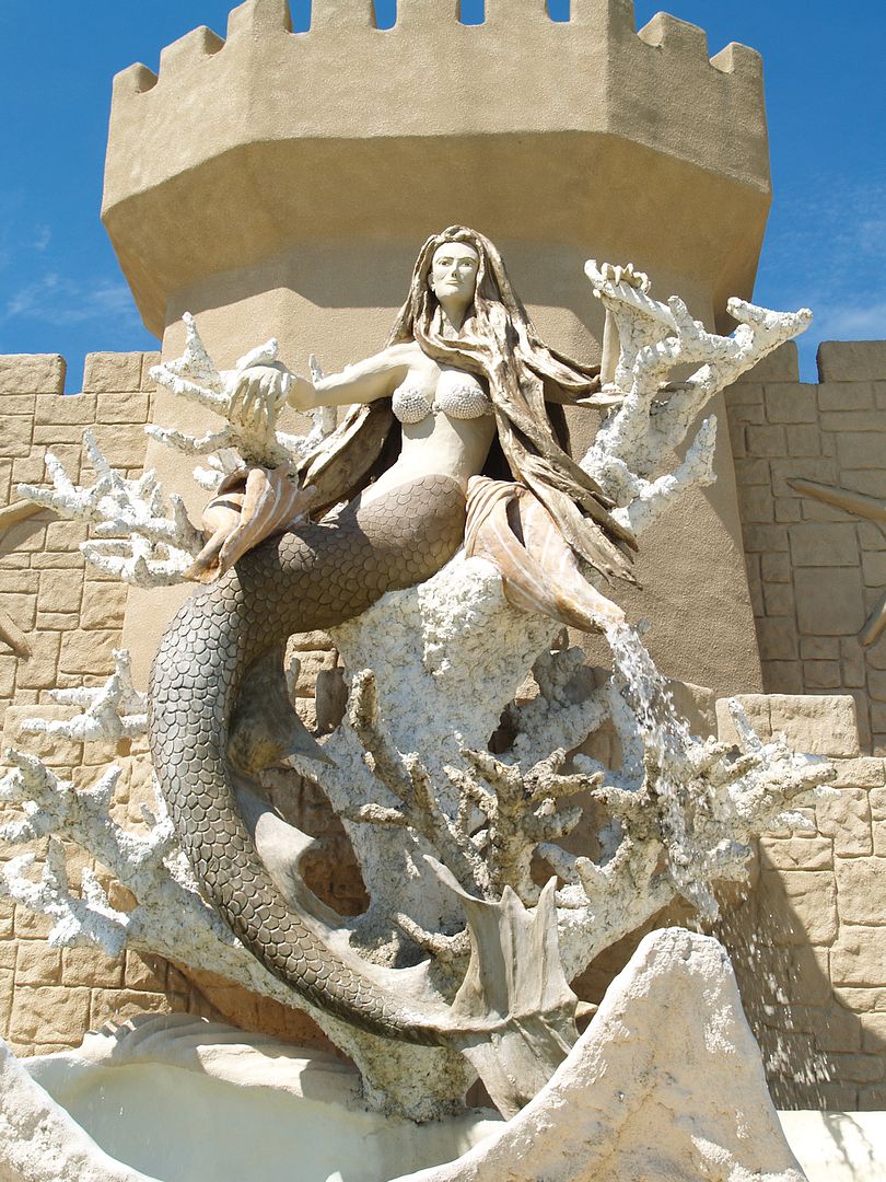
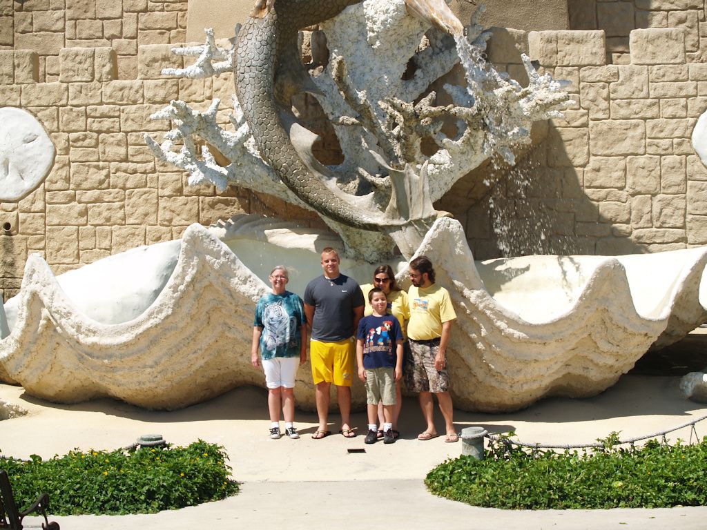
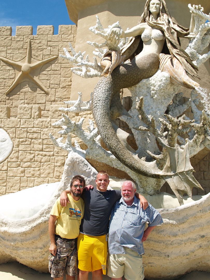
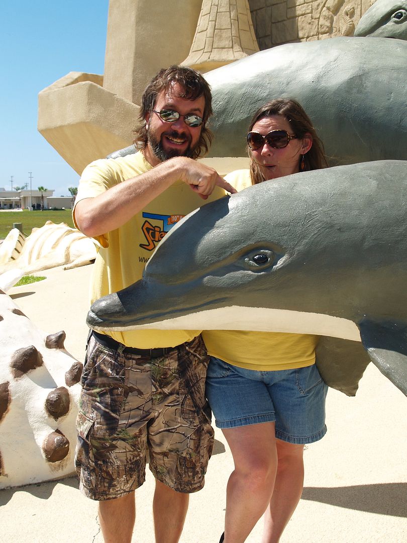
A Stop At Ocean Treasurers While Leaving Town
That’s All, Folks.