It’s been much too heavy lately focusing in on MAPS 3 lately and it was high time for a break. My head has been hurting — I’m not fond of doing political posts and taking issue with city leaders that I like and admire. I needed a break.
A monthly meeting today of the OkcTalk.com Southsider group gave just such an opportunity. These guys and gals know how to have fun and they love to talk about history. Largely, these Southsiders hang out in the Nostalgia & Memories area of OkcTalk.com but they also meet monthly at Coits on South Western. Although I don’t have my Southsider photo ID yet (as a Northsider, I’m on the waiting list), I was at yesterday’s meeting. After the meeting, I was driving east on Reno from May Avenue and arrived at the Pennsylvania intersection. It was then that the sign below — and I’m not kidding — started doing funny things …
I accepted the sign’s invitation and by doing so I became one of the first drivers on the new I-40 crosstown. Yes, I did have my camera in hand. Come along for the ride, if you want.
A STREET SIGN sign is talking to me? Sure, why not — I’ve seen (and enjoyed) the movie L.A. Story so I already knew that road signs are capable of having personalities and, sometimes, even wisdom, musical and magical capabilities — even if this sign was puny by comparison to the L.A. Story sign. No disrespect intended, Reno/Penn sign, but you’re young yet and, after all, you didn’t play Do Wah Diddy, did you?
The Southsiders group met yesterday afternoon at Coits at 2500 S. Western, and I was there. After the meeting, Generals 64 (I call him Bob) led me and Prunepicker to the remnants of the “Sandtown” community — a poverty stricken but proud area during the Great Depression and later — it was located around May Avenue and the North Canadian River. Bob had already showed me where the huge Phillips gas plant was located in far south Oklahoma City, a very big deal in the 1930s and 1940s (which will be the subject of a Trains article whenever I get around to it) and where the 1st Oklahoma City canal was located (well, not exactly — but it was a heck of an interesting story — see this earlier article about that). Seeing the Sandtown remnant, I proceeded east on Reno toward my Mesta Park home.
That’s when I encountered the sign at Reno & Penn, and, as I said, I accepted the sign’s invitation to “Come On In.” Here’s what I saw.
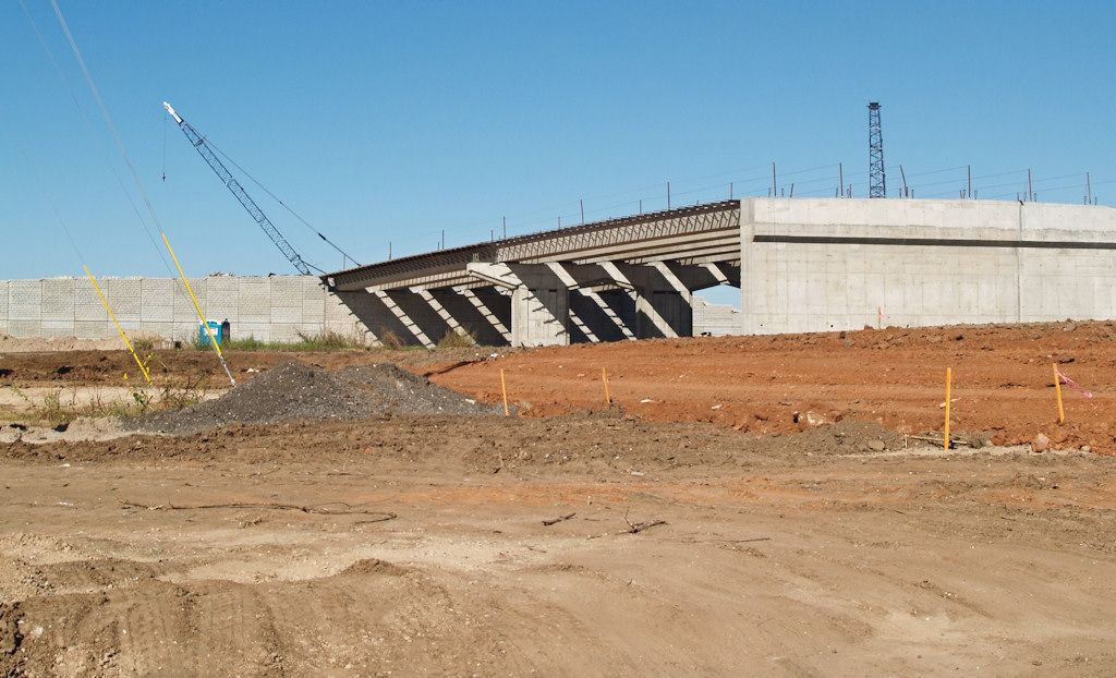
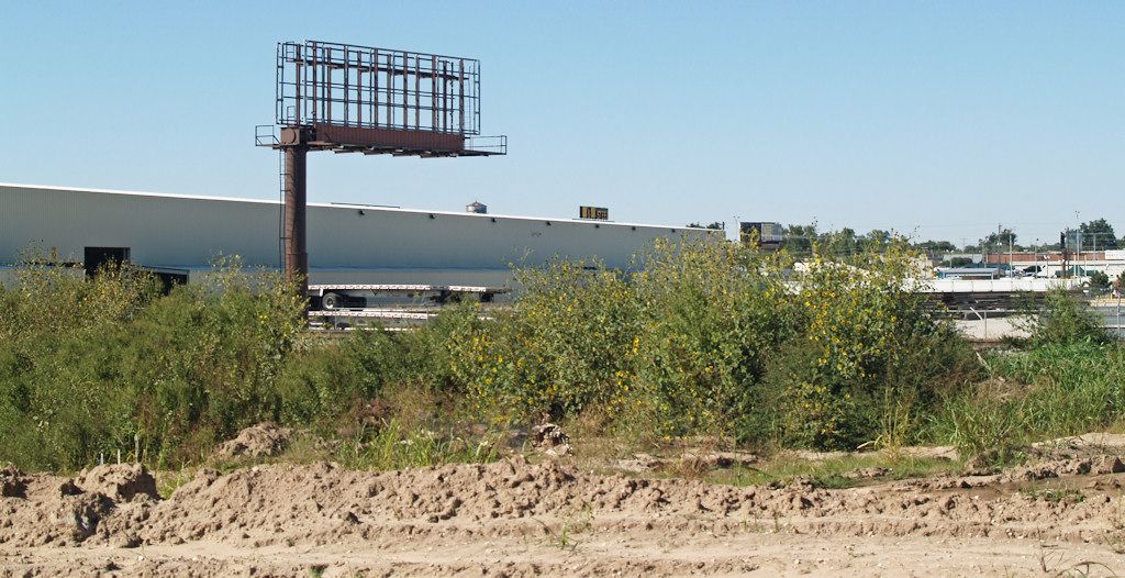
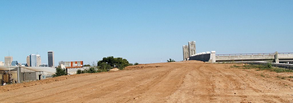
Between Penn & Western, only roadbeds and bridgework have been done. This view looks east to the Pennsylvania bridge.

Pennsylvania Bridge Detail from I-40


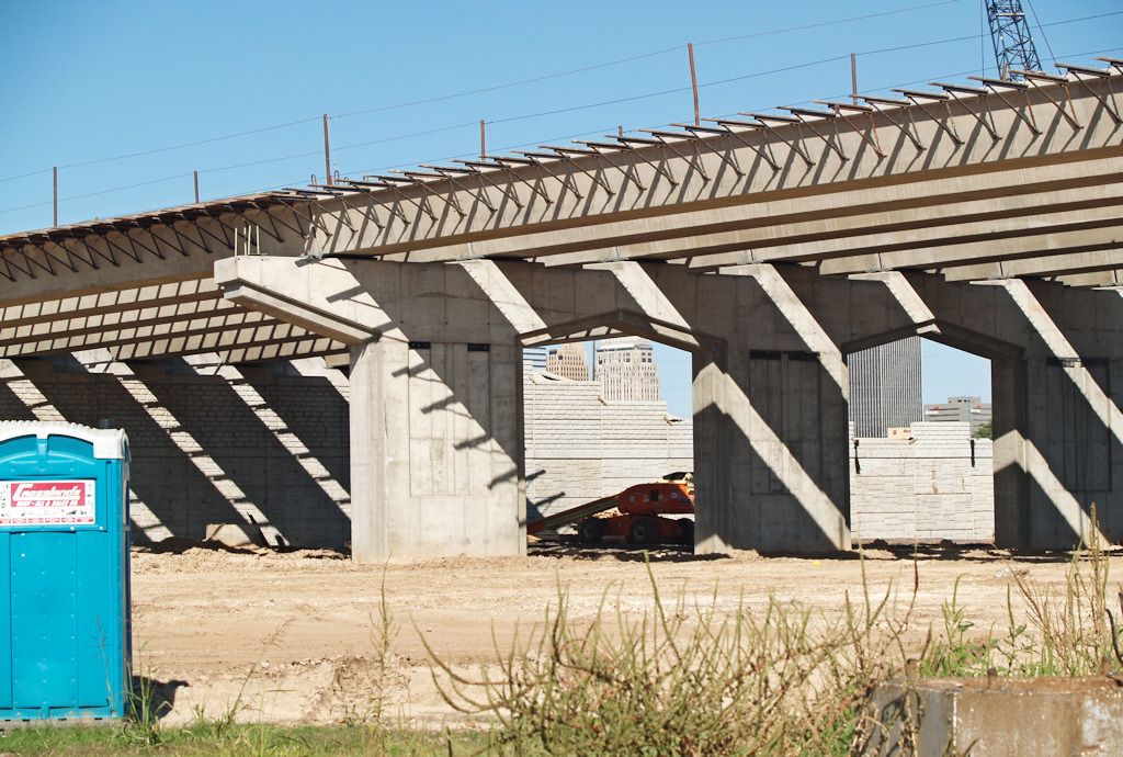
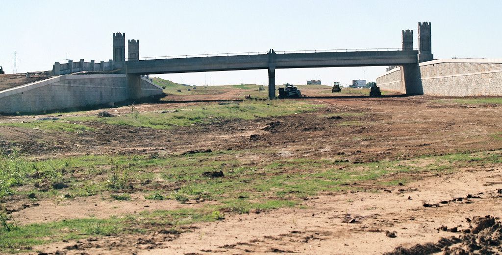
Another bridge, not sure which one … Western?

Notice downtown peeping through the bridge
A closer look at the sidings
which show what a driver would see

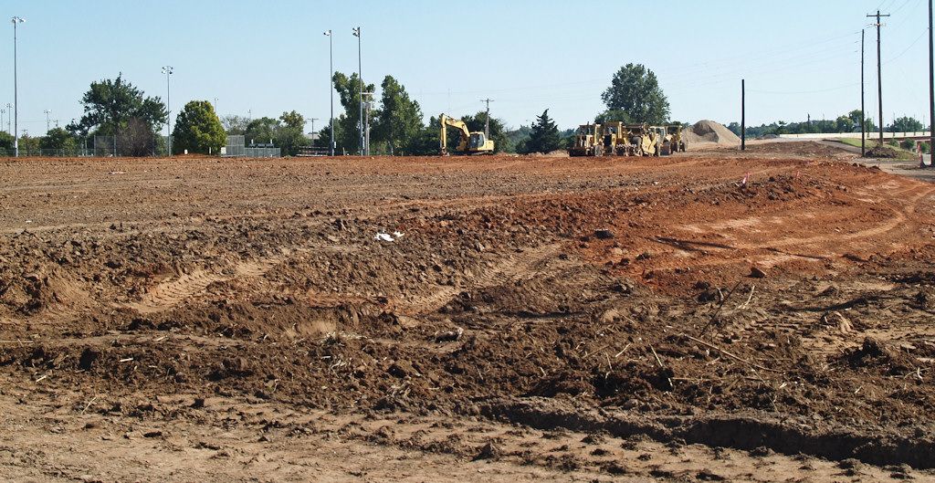
Dirt, Dirt, Lots of Dirt
A Sign-maker Is Prepared
(Doubtless of the Do Wah Diddy class)
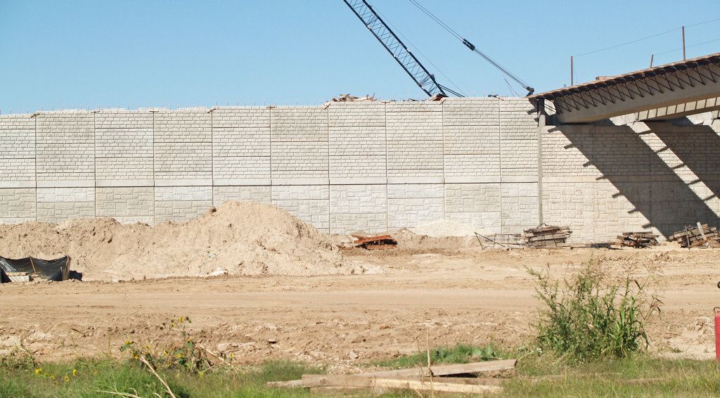
Looks too small for Western … maybe Blackwelder?

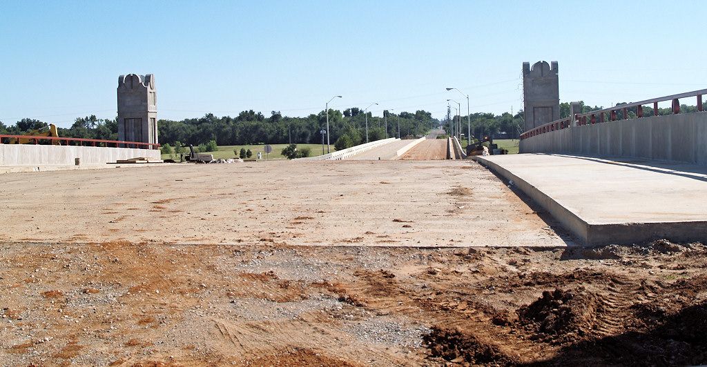
Driving An Up Ramp To The Above Bridge
Looking South On The Above Bridge
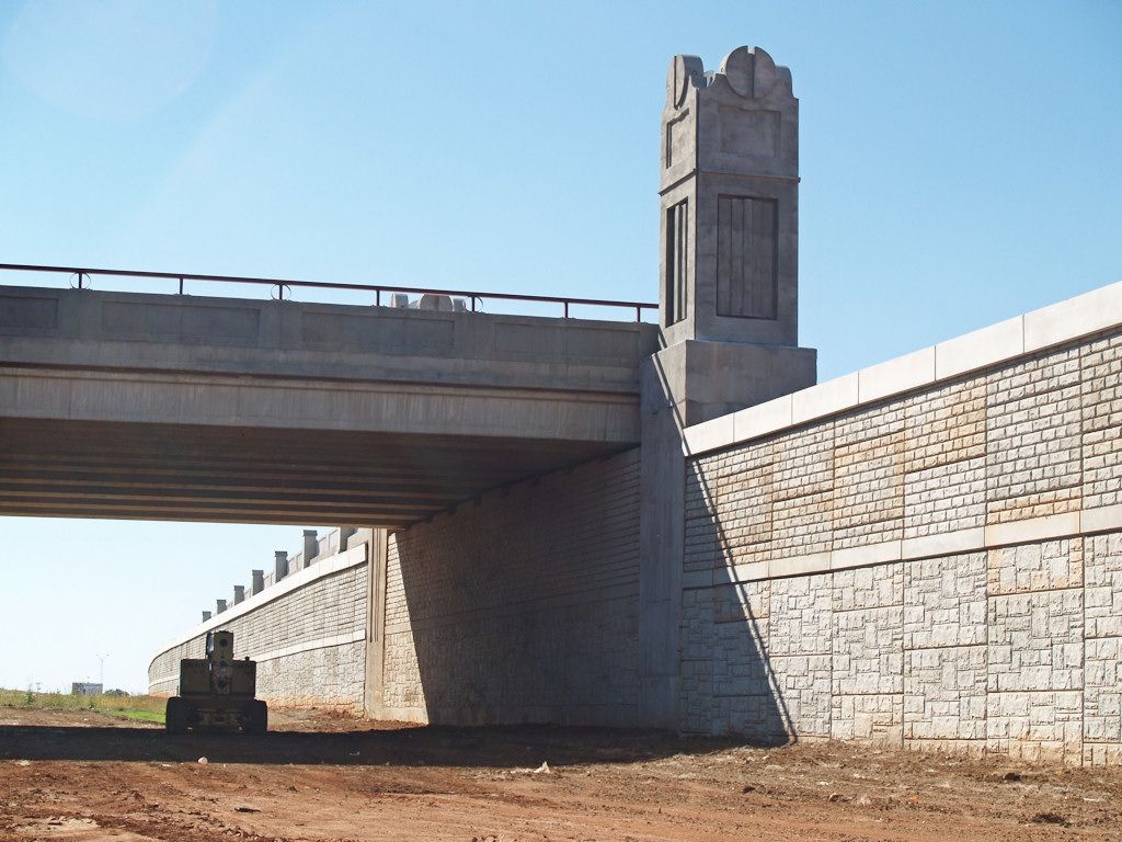
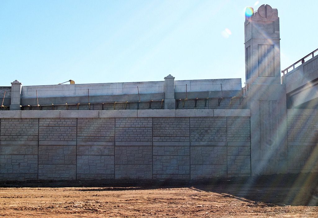
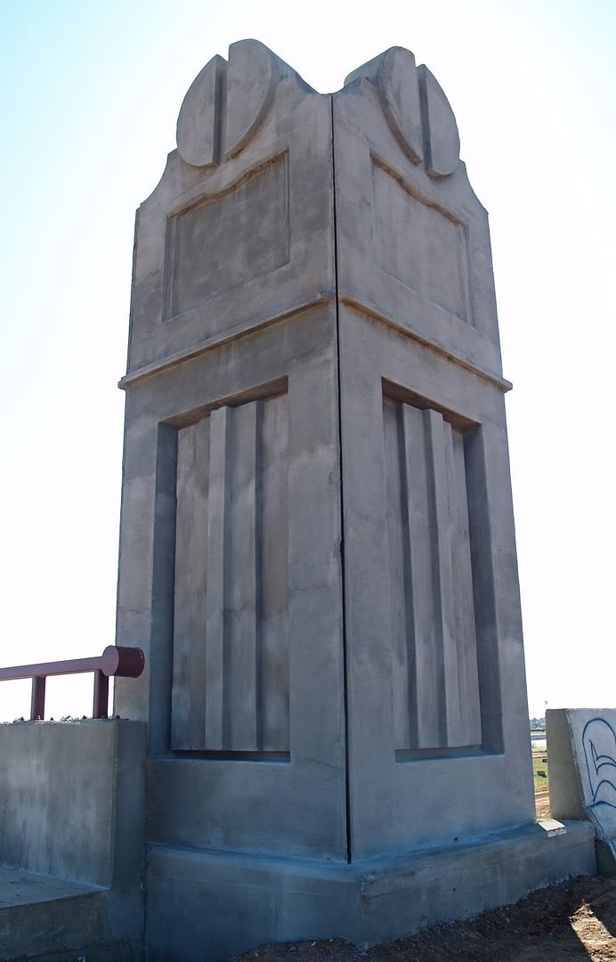
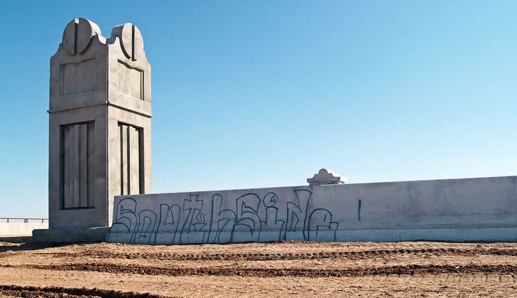
Bridge Pillars On The Above Bridge
I thought I might be the 1st to make this drive.
Nope. Darn Southsiders beat me to it!
The last trick was to figure out how to get out of the place. It wasn’t easy. Ahh … the Pennsylvania sign!

End of Dirty Pics. Go To Top